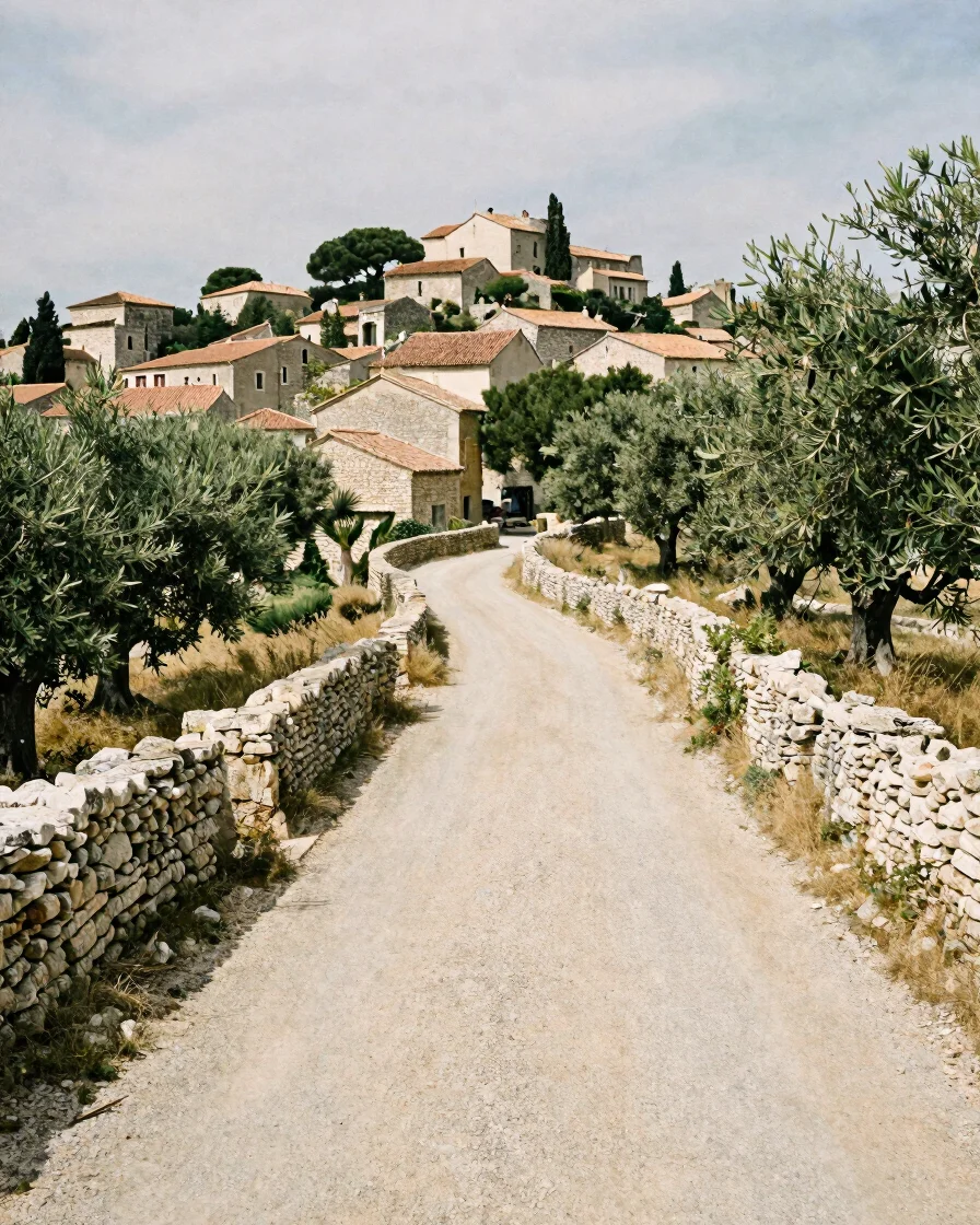
Découvrir Sanilhac
The land around Sanilhac, read from its stone and its paths
Sanilhac sits in the southern Ardèche, where sandstone formations, ravines, and limestone plateaus shape the routes between hamlets. This territory guide sets out where the village lies and how its surroundings are arranged.
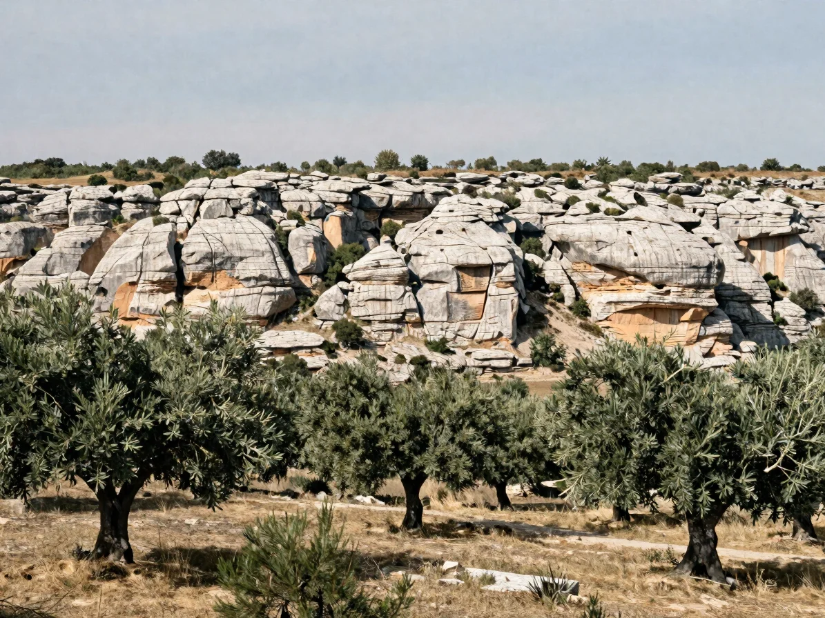
Villages d’Ardèche
Hamlets around Sanilhac
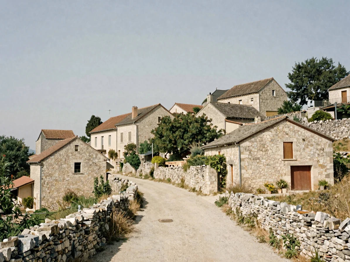
Medieval layout
A village on a narrow ridge
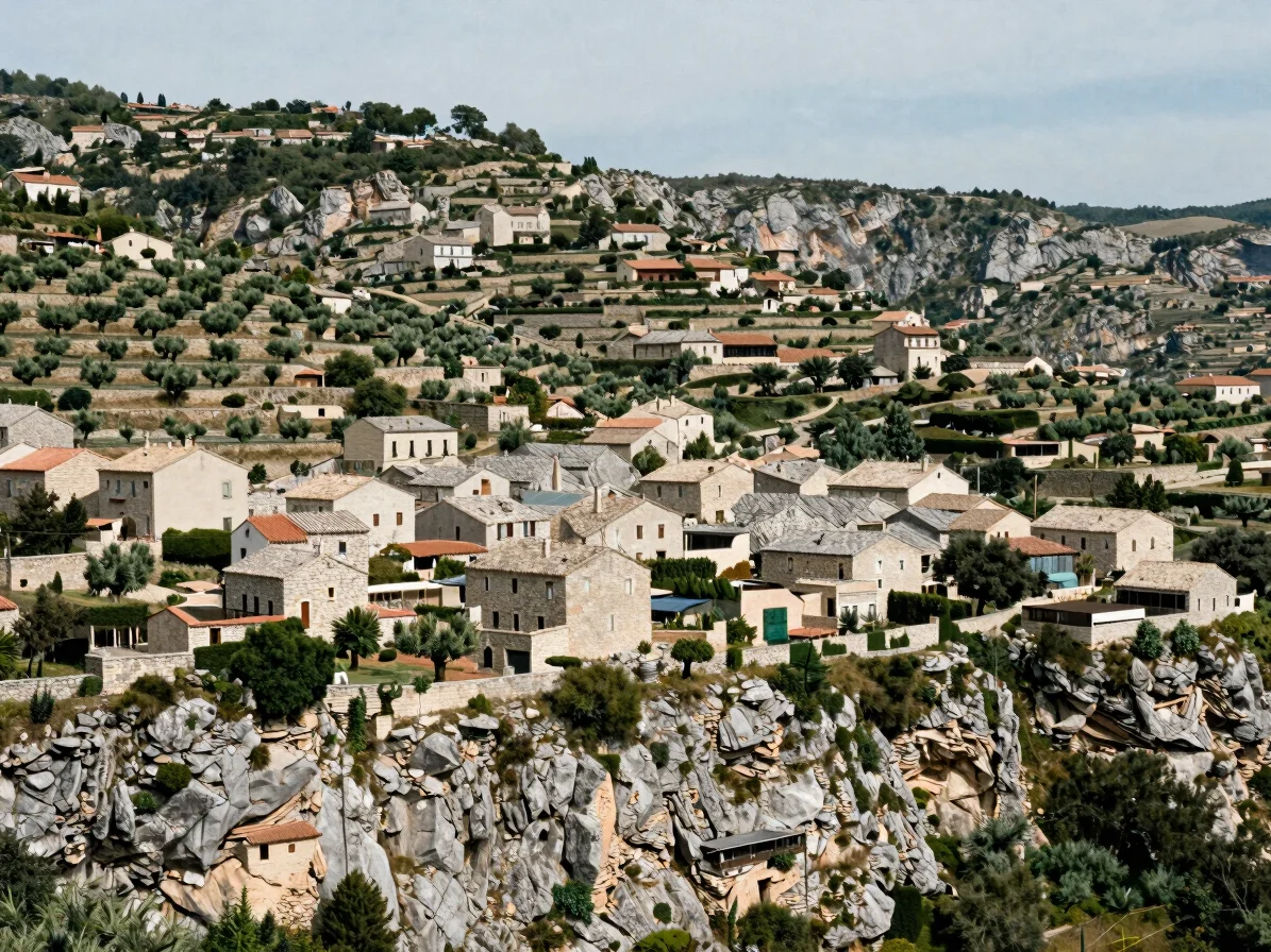
Its houses follow the contour of the ridge, with lanes that climb between stone walls. The arrangement is typical of hamlets that grew up around a single road and a few shared wells.
Vernacular masonry
Dry-stone and lime walls
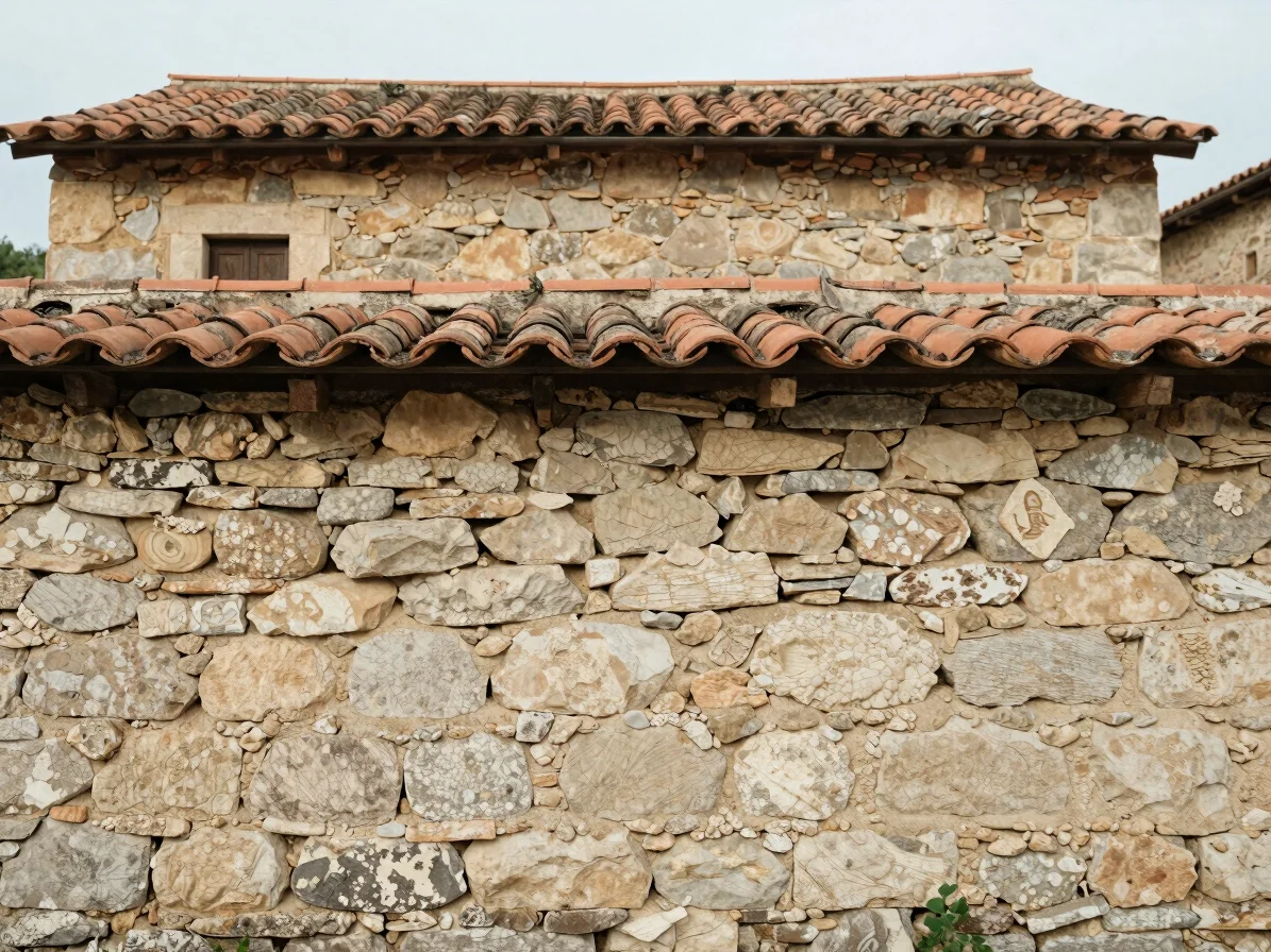
Walls are built from local limestone and sandstone, laid with lime mortar and roofed with flat stone tiles. Close detail of the masonry shows how each course was fitted to the local stone.
Valley edge
Hamlets along the ravines
Several settlements sit at the edge of ravines, where terraces and tracks link the houses to the land below. Their location explains many of the paths that still connect them to Sanilhac.
Topography
How the land shapes the villages
The plateaus, ravines, and sandstone formations around Sanilhac set the limits of settlement. Roads and hamlet paths tend to follow the lowest practical routes between water, pasture, and stone.
This is a geographic reading only. Confirm road access, path conditions, and local rules with reliable local sources before planning a visit.